 By Laura Caiswell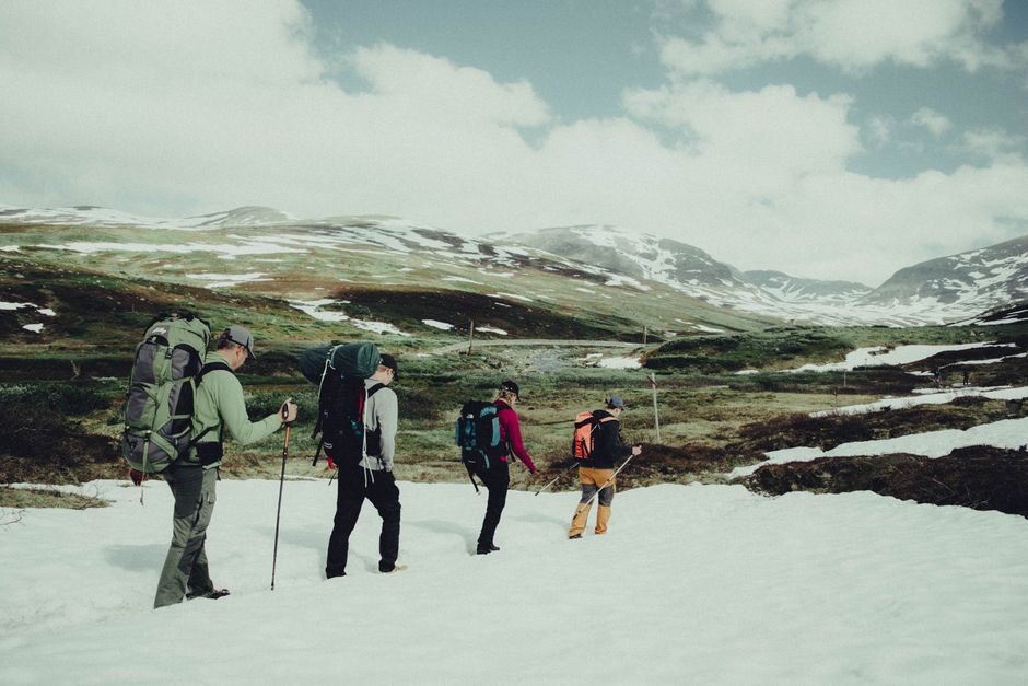
On the shortest day of the year, Keswick gets only about seven hours and 20 minutes between sunrise and sunset. That leaves little room for a slow start, a wrong turn or a weather delay on a high fell. Winter hiking in the Lake District is rewarding, but route choice must follow daylight, wind, ice and escape options rather than a summer walking list.
How much daylight do you get in the Lake District?
Daylight controls the whole walk. It determines when you leave, how far you can go, how much time you have to find a safe descent and when a minor mistake becomes a night navigation problem. In Keswick, rough planning figures are around 8:25 a.m. sunrise and 3:45 p.m. sunset on 21 December; around 8:20 a.m. and 4:25 p.m. on 15 January; around 7:35 a.m. and 5:20 p.m. on 15 February; and around 6:25 a.m. and 6:10 p.m. on 15 March. Check the exact date before setting out because local times shift each day.
Use civil twilight as your real deadline
Sunset is not the moment darkness starts. Civil twilight normally gives roughly 30 to 40 minutes of useful extra light, but valleys, woodland and steep northern slopes become dim sooner. A winter route should finish before sunset, not rely on twilight. On a high ridge, cloud can remove the remaining light much faster than the forecast suggests. If the walk takes five hours, a 10 a.m. start may already be too late in December once stops, navigation checks and slow icy sections are included.
Build a time budget before you leave
Use a conservative pace of 2 to 3 kilometres per hour on uneven winter ground, then add time for clothing changes, food, photographs and navigation. Add at least 30 minutes for every steep ascent or descent that may be icy. Write down a turnaround time before you start. For a 3 p.m. sunset, a sensible high-level turnaround may be 12:30 or 1 p.m., depending on the descent. That rule feels early on a clear morning, but it protects the part of the walk where tired legs and fading light combine. Recheck the Met Office mountain forecast and local conditions on the morning of the walk.
What should you pack for a winter fell walk?
The best safety improvement is not a gadget. It is carrying enough clothing, navigation equipment and food to cope with a delayed return. Winter conditions can change from wet grass in the valley to ice, snow and strong wind above 600 metres.
Use this pre-departure packing check
- Wear waterproof boots with a firm sole, warm walking socks and layers that can be adjusted while moving.
- Pack waterproof trousers, a spare insulating layer, hat, gloves and an emergency bivvy or survival shelter.
- Carry a paper map and compass, even if you use a phone. Download maps before leaving because signal coverage is uneven.
- Take a head torch with fresh batteries or a charged backup light. Darkness often arrives before walkers expect it.
- Bring more food and water than the route length appears to require. Cold weather increases effort and can slow every descent.
- Pack a first-aid kit, whistle, power bank and the details of your emergency contact.
Know when traction equipment changes the risk
Microspikes or similar traction aids can help on firm, icy paths, but they do not make a steep ridge safe. Crampons and an ice axe require training; carrying them without knowing how to use them creates false confidence. Do not improvise with unsuitable footwear on Helvellyn, the Langdale Pikes or other steep ground. If the path has hard snow, black ice or a slide consequence, choose a lower route unless every member of the group has the right skills and equipment.
The common packing failure is carrying for the forecast rather than for the delay. A forecast of light rain does not remove the need for warm layers when wind chill, wet clothing or an ankle injury turns a three-hour walk into a six-hour problem.
Why a lower route is often the right winter choice
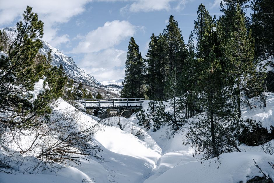
My clear recommendation is to choose Loughrigg Fell or Tarn Hows before attempting an exposed summit. The lower route is not a lesser version of the Lake District; it gives you more options when weather, energy or daylight stops matching the original plan.
The trade-off between views and escape routes
High summits offer wider views, but they also bring stronger wind, faster icing, cloud that hides landmarks and longer descents. A low-level circuit may lose the dramatic summit panorama while gaining bridges, roads, villages and several points where you can turn back. That trade is worth making in December or January, particularly for a first winter trip. Loughrigg has enough ascent to test pacing and enough route variation to shorten the day. Tarn Hows works better for a relaxed outing, but icy sections still need care.
Three failure modes that catch capable walkers
- Starting too late: a route that is easy in summer becomes a race against darkness in midwinter.
- Trusting a summer route description: familiar paths can disappear under snow, and streams can become difficult to cross.
- Continuing after the planned turnaround: the summit is optional; the return journey is not.
Do not treat a crowded car park or clear valley as proof that the summit is safe. Conditions above the cloud line may be completely different. The strongest winter decision is often turning around while the route still feels manageable.
Lake District winter hiking questions answered
Can a beginner hike Helvellyn in winter?
No. A beginner should not choose Helvellyn via Striding Edge as a first winter fell walk. The ridge is exposed, and ice or snow can turn scrambling into a serious fall hazard. Start with a marked low-level route, learn to use a map and compass, and build experience in poor visibility before moving onto high ground. Even the easier approach from Thirlmere can demand winter skills when snow covers the path.
Do I need crampons for Catbells or Loughrigg?
Not automatically. Many winter days on these routes involve wet rock, mud and short icy patches rather than full snow conditions. Wear boots with good grip and carry traction only if you know when and how to use it. If ice covers steep sections, retreat rather than forcing the climb. Conditions decide the equipment, not the route name.
What should I do if the weather closes in?
Stop moving, check the map and identify the safest descent before visibility falls further. Do not split the group. If you cannot confirm your position, retrace only when you can do so safely or call for help early. Emergency services need your location, number of people, injuries and clothing details. A personal travel insurance policy may exclude certain grades of mountaineering or walking above a stated altitude, so read the hazardous-activity and rescue clauses before relying on it. Premiums vary by provider and personal factors; an insurer’s AM Best rating or J.D. Power score does not prove that a policy covers a winter fell route.
What is the safest decision when conditions change?
Turn around before the route becomes dangerous, not after. That means leaving extra daylight, setting a turnaround time and accepting that a missed summit is a normal outcome of sound winter planning. Wind above 40 to 50 mph can make exposed ridges unpleasant or unsafe, while freezing rain, dense cloud and fresh snow can change navigation within minutes.
Use a simple go, slow down or stop rule
Go when visibility is good, the forecast is stable and the group is moving comfortably. Slow down when the path becomes icy, the pace drops or clothing is getting wet. Stop and retreat when you lose the route, a member becomes cold or tired, or the next section has a fall consequence you cannot manage. The decision should be based on the weakest or least experienced person in the group.
Leave a clear plan behind
Tell someone your route, parking point, expected return time and emergency plan. Update them if you change the route. Park legally and avoid blocking narrow lanes needed by farm vehicles or emergency crews. Keep the phone warm because cold reduces battery life, but do not use it as your only navigation tool. In an emergency, call 999 or 112 and ask for Police, then Mountain Rescue. Give a six-figure grid reference if you have one. A cautious route, a spare hour of daylight and an early retreat will usually matter more than reaching the highest point.